
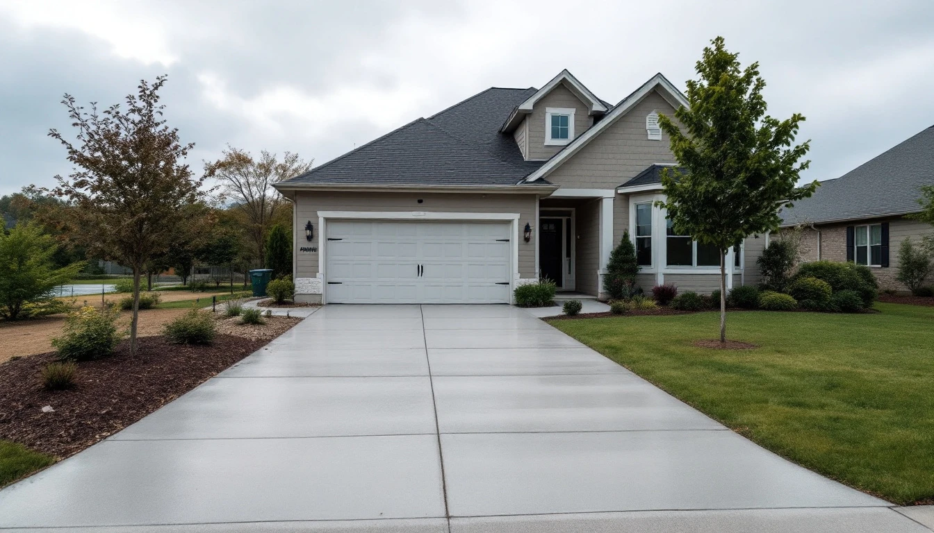
A driveway looks like a simple slab of concrete or asphalt. Walk it with a tape, measure it and you'll quickly find something is missing. There are subtle dips, slopes, drainage channels, hairline cracks, and edge transitions that don't show up until you're really looking for them. Driveway 3D scanning exists to catch exactly those details, turning a physical surface into a digital model you can actually study. If you're planning a new driveway, a resurfacing job, a drainage fix, or a bigger repair, having that kind of digital twin in hand before the work starts can save you from some expensive surprises. This isn't a new idea, pavement engineers have relied on 3D imaging for years to document surface geometry and damage like cracking, rutting, and texture loss.
What Is Driveway 3D Scanning?
At its core, it's the use of LiDAR or laser-based tools to capture the exact shape and elevation of your driveway. Rather than just taking pictures, the scanner records spatial data, thousands or millions of individual measurement points that get assembled into a point cloud or a full surface model.
What you end up with is a picture of how your driveway really sits on your property, not how you assume it sits. Depending on the tools and the provider, that model can flag grade changes, low spots, rough patches, edges, and how the driveway interacts with everything around it. A driveway doesn't exist in isolation. It has to work together with the garage, the street, the yard, the drainage system, and any sidewalks nearby.
Why Bother with a Digital Twin?
A "digital twin" is just a digital stand-in for something real. For a driveway, that model becomes a reference point, something you and your contractor can look at when figuring out current conditions or planning what comes next.
It Shows What's Really Going On
A walk-through inspection will catch the obvious stuff like a visible crack, an obvious pothole. But a 3D scan adds a layer you can't eyeball like precise elevation changes across the whole surface.
Example
Imagine water keeps pooling near the garage after a storm. A surface model shows the exact detail like, is that puddle from the grade itself, or from how the drainage was originally laid out?
Better Drainage Planning
Proper drainage is arguably the single most important job a driveway does. A scan won't design the drainage system, that's still an engineering task, but it hands professionals detailed surface data to work from.
Here's a Common Scenario
a driveway looks flat to the naked eye, but there's a shallow dip somewhere in the middle. That dip becomes obvious the moment the elevation data gets turned into a contour map or a color-coded surface.
More Accurate Design Work
Whenever you're rebuilding or replacing a driveway, the existing surface is your starting. A 3D model lets you lay design drawings and proposed grades right on top of the current conditions, so you can actually see how the new driveway is going to meet the property.
This is especially valuable if you're dealing with steep slopes, oddly shaped driveways, retaining walls, drainage structures, or transitions between surfaces. On bigger pavement projects, this kind of survey data even feeds into preliminary design work and volume calculations.
A Documented Record
A dated scan is essentially a snapshot of your driveway's condition at one specific moment.
Example
Imagine your driveway gets scanned right before a major construction project starts on the property. Heavy equipment rolls through, and afterward there's visible damage. That earlier scan is now your reference point for what the surface looked like beforehand.
A scan isn't automatically going to hold up as legal proof in every dispute. But having that level of documented detail can be genuinely helpful when you're discussing pre-existing conditions with a contractor, neighbor, or anyone else involved.
How the Scanning Process Actually Works
The exact steps shift depending on the scanner, the property, and how much accuracy the job calls for but most professional scans follow a similar path.
Step 1
Clear the driveway:
A clear surface gives the scanner a clean line of sight. Anything left in the way, from parked vehicles to landscaping supplies, usually just means extra scanning positions or extra processing time later. Therefore clear everything that's present on the surface beforehand.
Step 2
Capture the surface: The technician walks the scanner around the driveway (or sets up a fixed rig, depending on the equipment) and collects laser-based measurements that get stitched into a 3D dataset. Some professional systems are even built for high-speed data capture across entire roadways, not just a single driveway.
Step 3
Process the point cloud: All those raw measurements get registered and cleaned up into something usable, a point cloud or a surface model. Extraneous data gets filtered out depending on what the project actually needs.
Step 4
Deliver something useful: Final deliverables vary by provider, but typically include a 3D model, a point cloud, an elevation map, measurement data, cross-sections, or CAD-ready files. Before you hire anyone, ask exactly what you're getting. A scan is only as good as the deliverables attached to it.
Driveway 3D Scanning vs. Phone's 3D Scanner
Plenty of newer phones and tablets can capture rough 3D data using built-in cameras, depth sensors, or LiDAR. They're genuinely handy for visualizing ideas or getting a rough sense of measurements.
But don't mistake "handy" for "construction-grade." A phone scan and a professionally surveyed model are not interchangeable, and treating them that way can cause problems down the line.
Professional systems, paired with proper survey control, careful fieldwork, and real quality checks, produce data you can actually build from. The accuracy you need should always match what you're using it for, like sketching out landscaping ideas is one thing, setting construction grades is a completely different level of precision.
When Does a Scan Make Sense?
There's no universal rule here, but scanning tends to pay off when you're:
- Planning a full driveway replacement
- Chasing down a drainage or standing-water issue
- Designing a complicated driveway extension
- Getting ready for a major resurfacing or reconstruction
- Documenting conditions before nearby construction begins
- Comparing existing grades against a proposed design
- Managing a property with tricky slopes or elevation changes
If you're just patching a crack or two, a full 3D scan is probably overkill. Match the tool to the size of the problem.
What Does It Cost?
There's no clean, universal price tag for residential driveway scanning. Cost swings based on driveway size, location, the tech being used, the accuracy required, how easy the site is to access, and what kind of final files you want.
A basic visualization scan and a construction-grade survey are two very different services, so comparing quotes purely on price without comparing scope is a good way to get burned. Before you commit to a provider, ask:
- What level of accuracy will this actually deliver?
- What areas of the property get captured?
- Do I get the raw point cloud data?
- Which 3D or CAD file formats are included?
- Will I get elevations and cross-sections?
- Is processing part of the quoted price, or extra?
A provider who can answer these clearly, without hedging, is usually the one worth hiring.
Using Your Digital Twin
The value isn't in owning a 3D file. It's in what that file lets you do.
A contractor can use the existing surface data as a benchmark while reviewing proposed grades, drainage changes, dimensions, and transitions. Scanning before and after a project also gives you a clear, documented comparison of how the finished surface stacks up against what was there originally.
On larger projects, this kind of pavement data often gets folded into broader design and asset-management systems. Research into roadway digital twins backs this up, showing how 3D surface data supports everything from initial design to long-term maintenance and future condition tracking.
Is It Worth Doing? Final Thoughts
Not every driveway needs a 3D scan. But when surface geometry, drainage, grading, or documentation actually matters to your project, it earns its keep.
Instead of guessing based on what you can see, you and your contractor get to work from an accurate, detailed picture of what's really there. That tends to pay off most on properties with complicated slopes, ongoing drainage headaches, unusual dimensions, or a major reconstruction on the horizon.
If you're researching driveway installation, repair, resurfacing, drainage, or general project planning, Drivewayz USA has practical guides and resources to help you get oriented before you start spending money. Contact Drivewayz USA for your Driveway planning.
Frequently Asked Questions
It's a digital representation of your existing driveway, built from spatial data captured through 3D laser or LiDAR measurements. You can use it to study the driveway's dimensions, surface shape, elevation, and other physical characteristics.
It can reveal elevation changes and low spots that contribute to standing water. That said, pinning down the full cause of a drainage issue usually takes additional site inspection and some drainage expertise beyond just the scan data.
It really depends on the device, the app, the conditions, and how much accuracy you need. Phone-based scans work fine for visualization and rough measurements, but anything construction-critical should be double-checked with proper professional equipment.
No. A surface scan of your driveway isn't a substitute for a legal boundary survey. Property lines, easements, and setbacks are still the territory of a licensed land surveyor.
Complex driveway replacements, drainage investigations, grading projects, unusual layouts, major renovations, and pre-construction documentation are the situations where it tends to matter most.